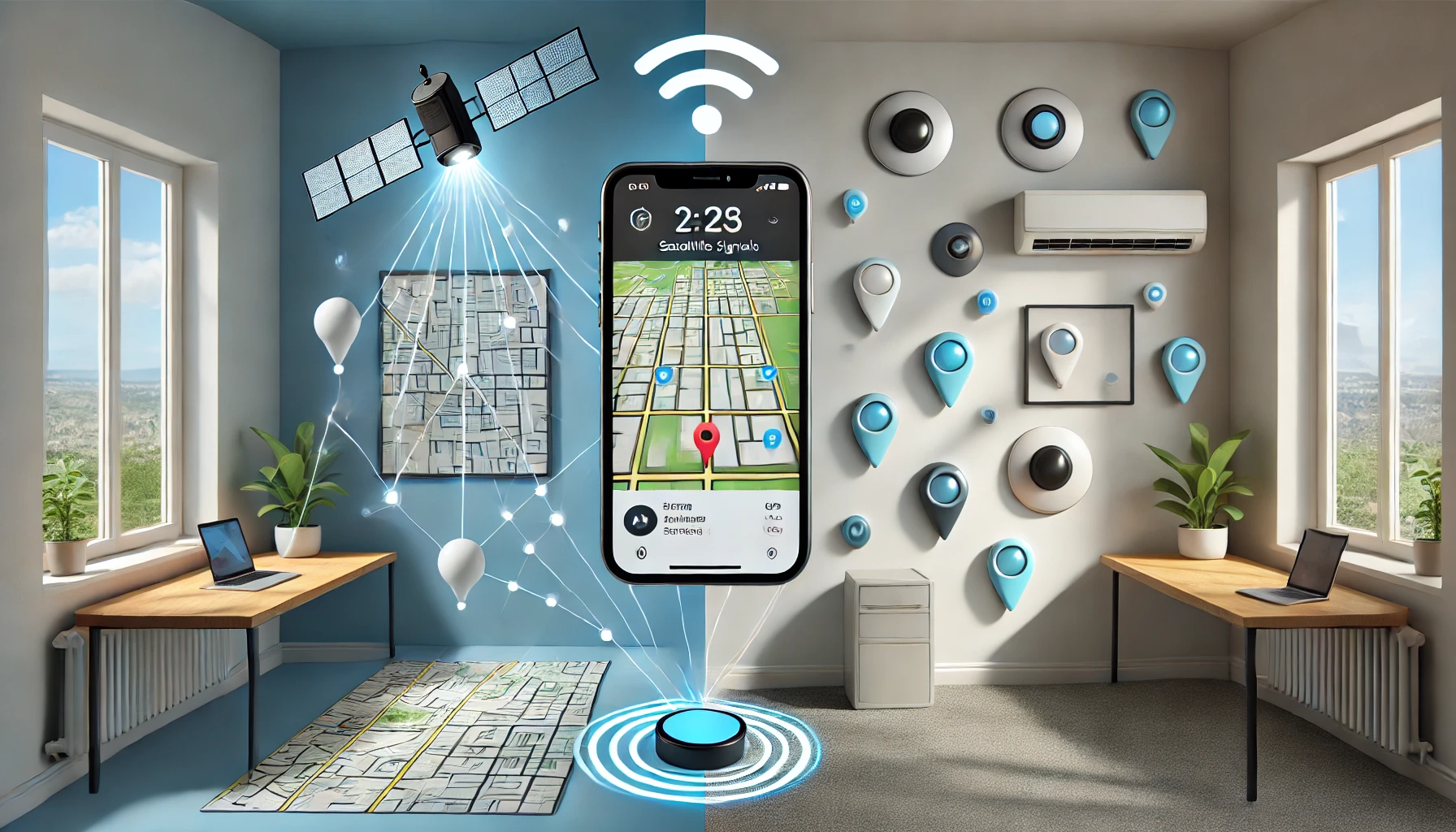
Smartphones use GPS and IMUs to measure absolute and relative position outdoors, and beacons to measure position indoors. GPS provides accurate absolute positioning, but the signal is weak indoors, and IMUs measure short-term position changes accurately, but errors accumulate over time. Beacon technology uses proximity, trilateration, and location mapping to measure precise location indoors.
Smartphones utilize a variety of positioning technologies to measure location in different terrain environments. There are two types of location: absolute and relative. An absolute location is a position expressed in terms of latitude, longitude, and so on, while a relative location is a position relative to a specific location. This location information plays an important role in a variety of applications, including wayfinding, bike route tracking, and location-specific notification services.
Outdoors, we typically use a global positioning system (GPS) or an inertial measurement unit (IMU) built into a smartphone device. GPS uses signals from satellites to measure absolute position. GPS does not accumulate position errors over time. However, due to propagation delays, GPS has large errors for a short period of time at the beginning of the connection, and it is difficult to receive GPS signals indoors or in tunnels. IMUs use built-in sensors to measure acceleration and velocity to calculate position change and obtain relative position relative to the initial position. IMUs are good at measuring short-term movements, but the error in the sensor’s measurements accumulates over time, resulting in large positioning errors. By using these two methods together, you can reduce the error by compensating for each other’s shortcomings.

On the other hand, one of the methods that can be used to measure location indoors is a technology that utilizes Bluetooth-based beacons. Beacons are devices that are fixedly installed indoors and periodically send out signals containing an identification number and location information that is specific to each beacon. The beacons send out signals of equal strength in all directions, but the further away you are from the beacon and the more obstacles, such as walls, the weaker the signal. When a device enters the range of a beacon signal, a receiver inside the device recognizes it. This signal can be used to measure position in a two-dimensional plane in the following ways
The proximity method determines the location of the beacon as the location of the device when the device receives a beacon signal. If multiple beacon signals are received, the device determines the location of the beacon with the strongest signal as the device’s location. This method is simple and fast, but it can be imprecise.
The trilateration technique measures the signal strength received from three or more beacons and converts it to a distance between the device and the beacons. A circle with a radius of this distance is drawn around each beacon, and the intersection point is the device’s current location. If the intersection points do not converge, the center point of the area common to all three circles is measured as the device’s location. This method is relatively accurate, but it is computationally complex and requires many beacons.
The location map technique divides the measurement space into smaller zones, establishing a reference point in each zone and placing beacons around it. The beacons then transmit signals and measure the strength of the signal that reaches each reference point. Record this signal strength, the beacon’s identification number, and the coordinates of the reference point’s location in a database on your server as a location map. This is done for every reference point. When a device at a specific location receives a beacon signal, it measures the signal strength and sends it to the server along with the beacon’s identification number. The server finds the reference point in the database whose signal strength is closest to the received signal strength and tells the device where it is located. This method allows for very precise location measurement, but it is complex to set up and maintain the database.
As you can see, smartphone location technologies offer a variety of ways to use them in different environments and situations, both indoors and outdoors. When utilized effectively, these technologies can significantly improve the quality of location-based services.